The blog post How to Read a Map and Contour Lines is available on https://totalsurvival.net
This post may contain affiliate links. If you make a purchase, I'll earn a small fee at no extra cost to you.*


Countless times, I’ve recommended buying detailed paper maps of your local area and all the areas along the path to your bug out location. During a major disaster, satellites might be down and GPS might not be working. If that happens, you need to know how to find your way with paper maps. They will be especially important if you need to take a different route due to traffic jams, collapsed bridges, caved in tunnels, etc.
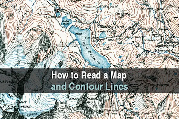
But now you’re probably wondering, what are contour lines and why do they matter? Can’t I just use a regular map? You can, but contour lines are very important if you have to go off-road, bug out on foot, or trek through the wilderness.
Contour lines measure the distance above sea level. By examining these lines, you can see exactly where all the hills and valleys are, thus avoiding any steep hills or cliffs. Without these lines, you could find yourself following a path that becomes so steep it’s impossible to climb, forcing you to double back and waste lots of precious time.
It’s a pretty simple concept, but it’s important that you take some time to study maps with contour lines to make sure you know how to read them. In this video by Reality Survival & Prepping, he examines several examples of maps with contour lines and shows you what the corresponding hill or mountain looks like.
 This article first appeared on urbansurvivalsite.com See it here
Original Post Here: How to Read a Map and Contour Lines
No comments:
Post a Comment